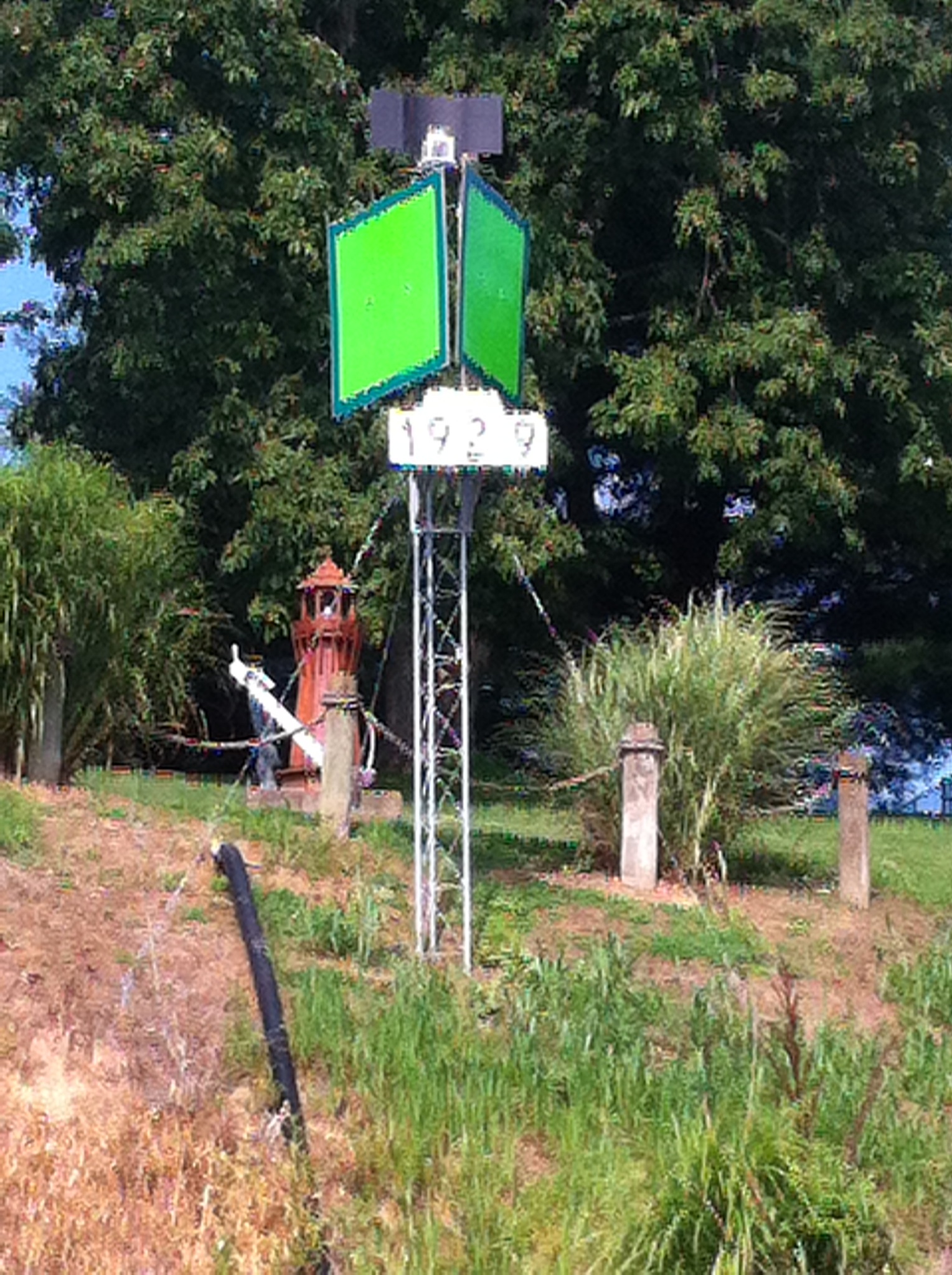
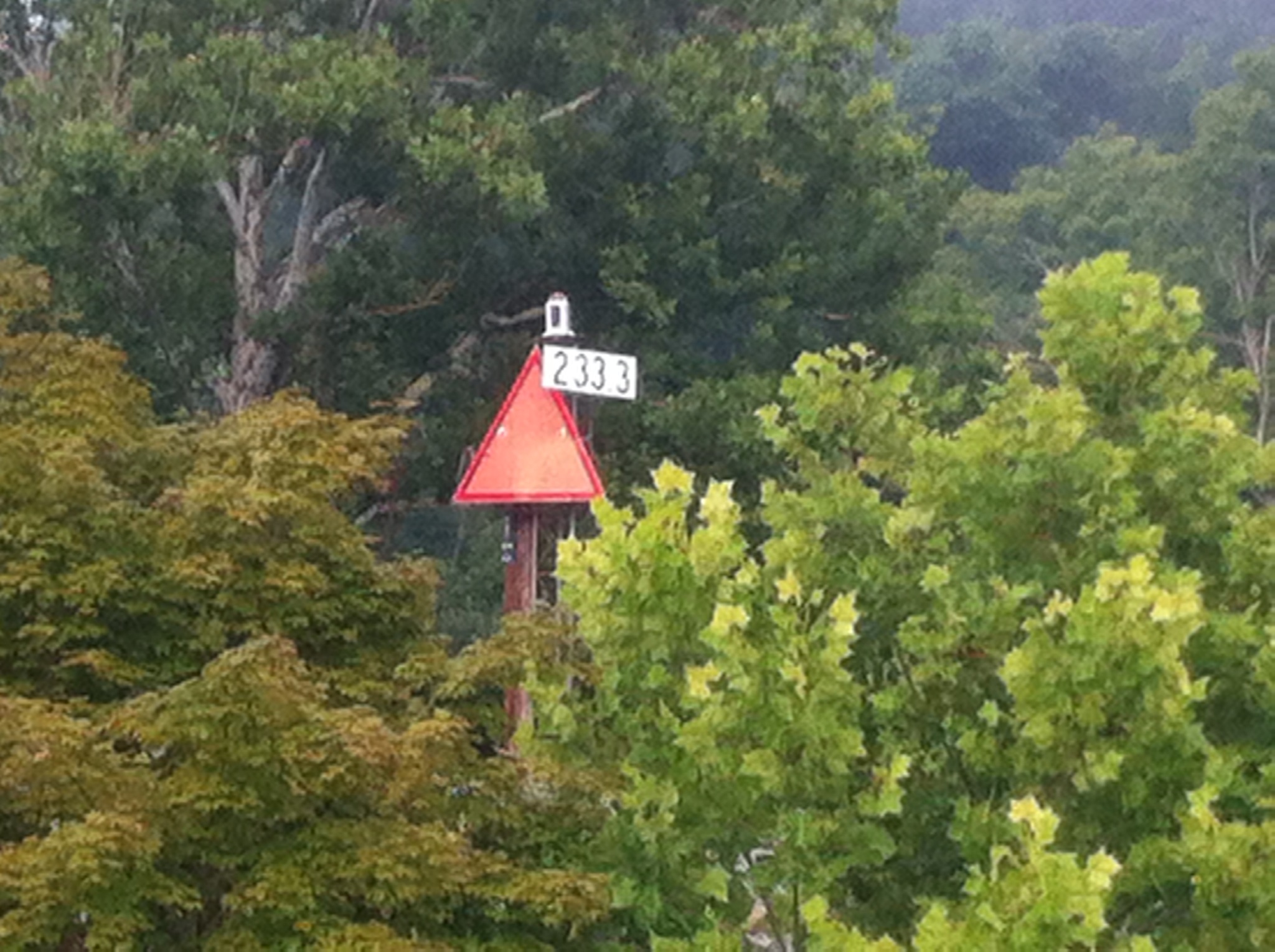
River Mile Markers
I've been passing these red and green signs along the way and just realized what they are. Each one of them has a number on it corresponding to the mileage from Pittsburgh where the river started. They aren't there every mile, like on the interstate, but usually every six or eight miles you'll see one, green markers on the right bank, red markers on the left.
The orientation of river references always goes downriver. In other words, when you are traveling down the river, the right bank is on your right, the left bank on your left. It remains that way if you turn around and go upriver, the right bank is then on your left, the left bank is on your right. So when you refer to the right bank, it doesn't matter which way you are looking, the right bank, in this case, is the Ohio bank, the left bank is West Virginia.
Same rule holds true for the maritime navigation. The mile markers on the right bank are green, corresponding to "starboard" which is the green light. The markers on the left bank are red, for "port". I imagine that is very important for riverboat pilots, who can refer to the right or left, port or starboard bank, and there is no confusion as to which bank they mean, regardless of the direction they are heading.
I hope my explanation hasn't made it more confusing. For me, it is handy, since my guidebook tells me which bank the locks are on, and I know which side of the river I need to get to before locking through.